Tungareshwar forest or Tungareshwar Wildlife Sanctuary is a protected forest with vast species of flora and fauna and a part of National Park, Mumbai. Also there is a small Fort. It comes under the region of Thane with a notified area of 85.7 sq km. Tungareshwar highest point is about 660 meters above sea level. Tungareshwar is famous for its waterfalls and rivers as well as different type of animal, insects, flowers. Chinchoti waterfall is located inside this sanctuary.
Tar road is available till the end of Sativali village and from there it is off road. There is a check post and the entry of Tungareshwar hill. One can get down and walk or can take their private vehicle till the Tungareshwar temple.
Tungareshwar temple is a Shiva temple situated aside a river at base of TWS.


HOW TO REACH


Tar road is available till the end of Sativali village and from there it is off road. There is a check post and the entry of Tungareshwar hill. One can get down and walk or can take their private vehicle till the Tungareshwar temple.
Tungareshwar temple is a Shiva temple situated aside a river at base of TWS.
Road towards Tungareshwar Temple
Tungareshwar Temple
Tungareshwar temple point
Food stalls in Tungareshwar
Tungareshwar Temple
Tungareshwar Plateau
One can walk up to the highest point of Tungareshwar Hill which is called Tungareshwar Plateau or Tungareshwar Top. It is a table land with arid vegetation like cactus. Plateau terrain is full rocky and treacherous. It is an alienated place with vast view of open sky. Once in Tungareshwar top one would not know that it is a hill. Plateau is spread across to a great extent.

Tungareshwar Plateau which is highest point about 660 meters above sea level of this Wildlife Sanctuary. The road marks can be seen as a sign of encroachment.
Arid vegetation on Tungareshwar Plateau.
TWS View Point
TWS view point can also be called as windy point since considerable amount of wind blows here. Situated at a height of 590 meters above sea level offers a majestic view of Tansa river and Nalasopara and Thane district.
Below is the photo of Tansa river from TWS view point.
TUNGARESHWAR FORT
There is a small fort, Tungareshwar Fort. There are small kunds (Water hole).
Tungareshwar Fort
Water hole or Kund (Pashuram Kund)
HOW TO REACH
1) Sativali is the base village and is accessible from NH8.
2) Tar road available till end of Sativali Borivali Ntional Park check post.
3) One can board rickshaw from this check post or can continue the off road in ones private vehicle or walk down.
DISTANCES
Temple is 2.5 km from checkpost
Tungareshwar Top is 10 km from checkpost
TWS View Point is 11 km from checkpost
ROADS
Construction of roads and structures inside protected Tungareshwar Wildlife Sanctuary is not allowed. Since the roads are illegally being widened and constructed inside you will not find a good tar motorable road insode. Heavy duty vehicles and jeeps can be easily driven. Small cars can be driven too but slowly. Driving not recommended in monsoon.
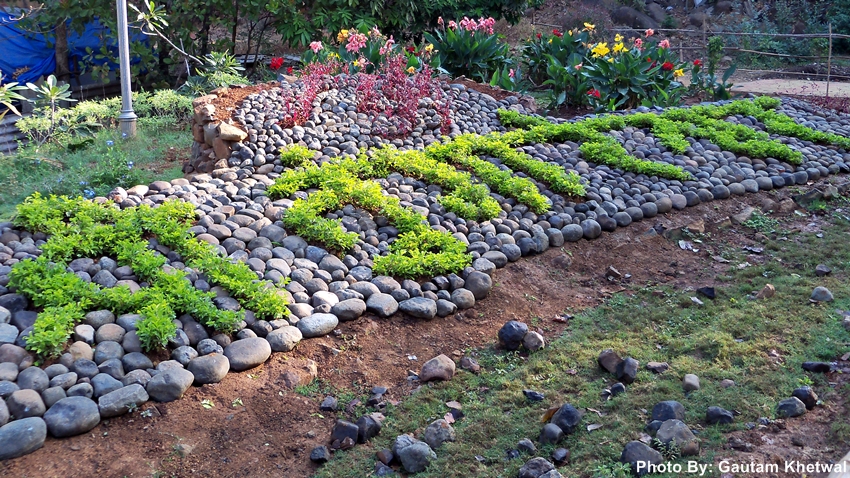
SAVE TUNGARESHWAR
Tungareshwar forest are in danger due to the massive illegal road widening and constructions carried out by sadanand ashram trustees located at top of the hill.
Trees are being cut and landslides have increased inside TWS due to illegal road constructions.
Flora and Fauna are getting affected by such activities
Please read the following articles:
Forest dept files offence reports against ashram - Indian Express
Illegal Hunting in Tungareshwar - DNA India
Illegal Hunting in Tungareshwar - DNA India